

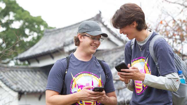
Niantic, the privately-held Pokémon Go app parent company, brought the augmented-reality app to the masses in July of 2016, and the game made it onto over a billion phones before 2019. Statistically you’ve probably played it, but in case you haven’t, players of the game must travel to locations in the physical world to find new Pokemon and battle other users. By strategically placing PokéStops and Pokémon Gyms the company was able to grab images and scans of locations that even Google doesn’t have street view images of.
Using people walking around with their phones instead of cars with cameras on the roof means Niantic has a more granular model of streets, sidewalks, parks, and businesses.
“Over the past five years, Niantic has focused on building our Visual Positioning System, which uses a single image from a phone to determine its position and orientation using a 3D map built from people scanning interesting locations in our games and Scaniverse.”
According to Niantic, the company has developed in-depth scans of over 10 million locations worldwide, and users capture around one million new individual scans per week. The company is using these hundreds of millions of images to train “more than 50 million neural networks” which compress thousands of mapped images into digital recreations of real-world physical spaces.
“Imagine yourself standing behind a church,” the blog post continues. “The closest local model has seen only the front entrance of that church, and thus, it will not be able to tell you where you are. But on a global scale, we have seen thousands of churches captured by local models worldwide. No church is the same, but many share common characteristics. A large geospatial model accesses that distributed knowledge.”
What’s the use of all these scans? Niantic suggests that the tech could continue to improve augmented reality products, autonomous systems, and navigation. The app has been used in the past to learn the habits of its users and discern optimal walking paths between two locations, so this just takes things to a new level.